
The overview you can get from map 1:300 000, General map of Switzerland. There are even glaciers, mountain paths, huts. I even walked few times with this map in some places.
You can buy maps 1:50 000, 1: 100 000 and 1:25 000. Price was usually 13-14 SFr per map. These same maps exist in a version in which you there's also shown touristic marked path - Wanderweg's and Bergwanderwegs. The price is about 23 SFr. Otherwise they are same as previously mentioned, i.e. excellent general maps. These maps have 3-digit numbers, are green (1:50 000), yellow (1:100 000), brown (1:25 000).
There are compiled maps of 1:50 000 of 2.5 maps of standard size into one large sheet for roughly 24.50 SFr. These are also green (1:50 000), but have 4-digit numbers.
All maps you can buy in a sportshops or bookstore. The issuer is: Bundesamt fur Landestopographie, Seftigenstrasse 264, CH-3084 Wabern. Tel: +41-31-54 91 11, Fax: +41-31-54 94 59.
For example, I have maps:
Nr#:   Name:
5001 - Gotthard
5003 - Mont Blanc - Grand Combin
5004 - Berner Oberland
5006 - Matterhorn - Mischabel
5014 - St. Gallen Appenzell
5017 - Unterengadin, Engiadina Bassa

275 - Valle Antigorio
272 - St. Maurice
263 - Wildstrubel
262 - Rochers de Naye
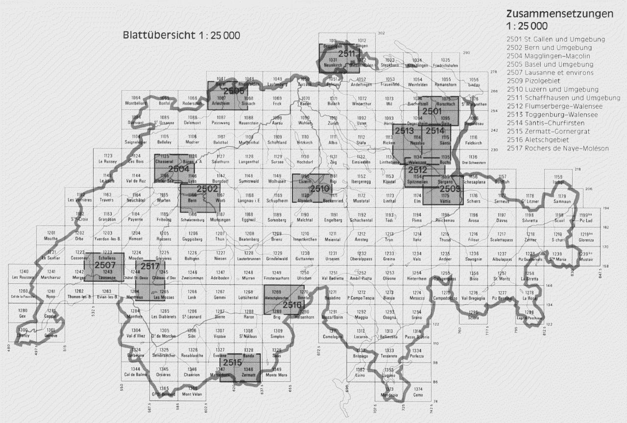
Here are some layouts:


Legend to decipher map codes (1:50 000 maps):
5001 - Gotthard
5002 - Chur - Arosa - Davos
5003 - Mont Blanc - Grand Combin
5004 - Berner Oberland
5005 - Seetal - Brugg
5006 - Matterhorn - Mischabel
5007 - Locarno - Lugano
5008 - Vierwaldstatter See
5009 - Gstaad - Adelboden
5010 - Zurich - Schaffhausen
5011 - Zurichsee - Zug
5012 - Flumserberge - Prattigau
5013 - Oberengadin - Engiadin'Ota
5014 - St. Gallen - Appenzell
5015 - Toggenburg - St. Galler Oberland
5016 - Bern - Fribourg
5017 - Unterengadin/Engiadina Bassa
5018 - Gantrisch - Thuner See
5019 - Weissenstein - Oberaargau
5020 - Yverdon-les-Bains-Lausanne
5021 - Weinfelden-Bodensee